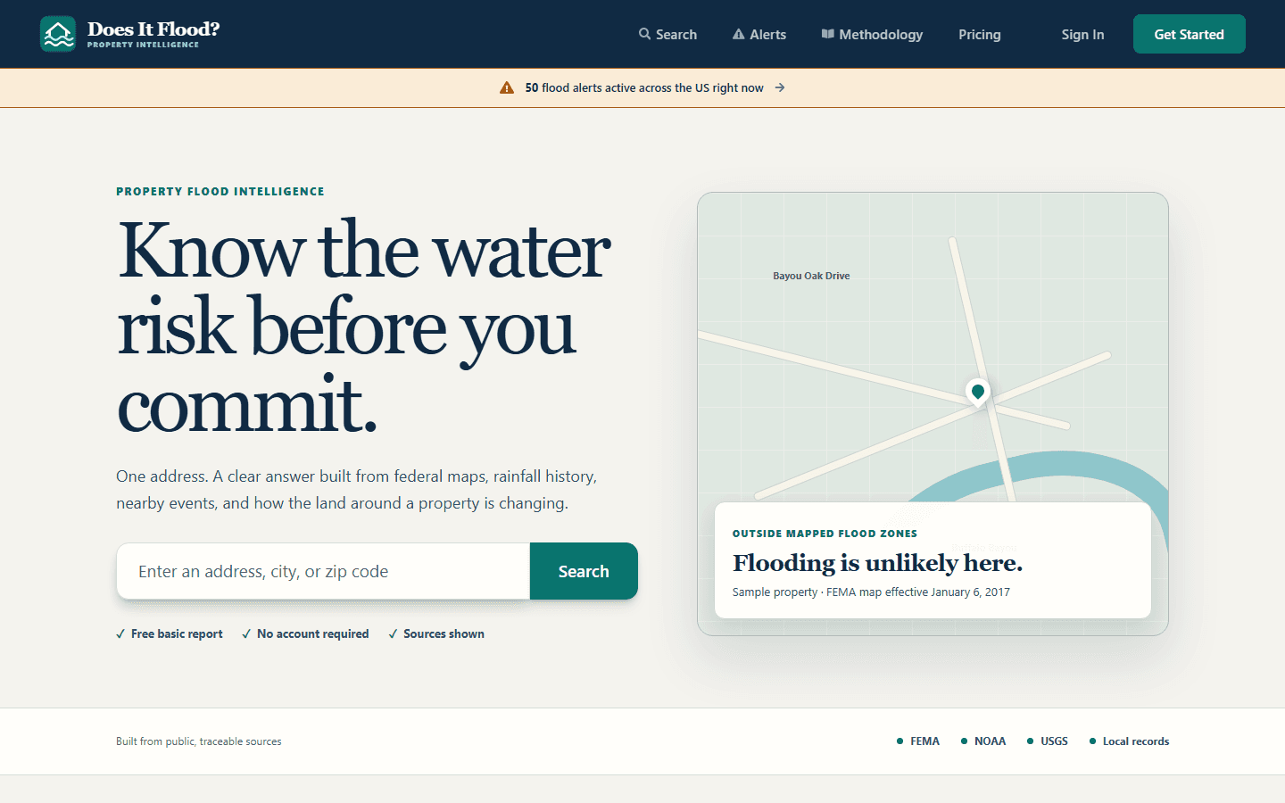
A flood zone is one layer of a property decision. It does not show you which way the ground falls, where water could collect, or what sits uphill. Does It Flood now puts that layer in the same place as the rest of the report.
What Terrain Explorer adds
Terrain Explorer opens from a property report and loads a USGS 3DEP elevation surface for the address. You can rotate it, switch to a top view, show potential downhill water paths and pooling, choose two points to draw an elevation profile, and export the measurements as CSV.
The point is not a prettier map. It is a second way to read the same address: the zone code, the terrain, and the nearby water context together.
How to use it
- Open a property report and select Explore terrain above the map.
- Rotate the surface or switch to a top view to see the surrounding slope.
- Turn on potential downhill water paths and pooling to see where water could move.
- Choose two points for an elevation profile, then export the CSV if you want the numbers in your own notes.
Pro includes ongoing terrain access. A Single Property Report buyer can explore terrain during the 30-day data refresh window and keeps the original report after that window.
What it does not claim
The terrain model is not a survey and it does not know every culvert, ditch or drainage improvement. It shows the shape of the ground and plausible paths, not a guarantee of where water will go in a particular storm. The free Asheville demo runs on the same fixed USGS sample used in the browser test, so you can try the interaction before buying a report.
Try the demo at doesitflood.com/terrain-explorer, or check an address at doesitflood.com.